|
HOME
CONTACT US
ELECTRICAL
RESISTANCE TOMOGRAPHY
GROUNDWATER
RESOURCES
STRATIGRAPHY
& HYDROGEOLOGY
VOIDS &
SINKHOLES
ARCHAEOLOGY
BURIED MATERIALS
LANDFILLS
CONTAMINANT
PLUMES
MINERAL DEPOSITS
| |

DELINEATION OF LANDFILLS AND
OTHER SUBSURFACE ANOMALIES
 | 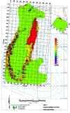
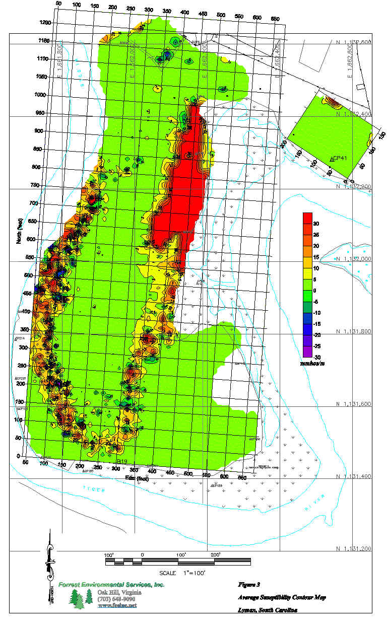
 EM, Mag, ER, CH2M Hill, Spartanburg, South Carolina - The purpose was to
delineate the horizontal and vertical extent of an old municipal/industrial
landfill. Site was approximately 14 acres in area.
EM, Mag, ER, CH2M Hill, Spartanburg, South Carolina - The purpose was to
delineate the horizontal and vertical extent of an old municipal/industrial
landfill. Site was approximately 14 acres in area. |
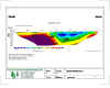
|  EM and ER, CH2MHill, Naval Surface Warfare Center, Indian Head, Maryland –
The purpose was to determine the horizontal and vertical extent of a closed
landfill.
EM and ER, CH2MHill, Naval Surface Warfare Center, Indian Head, Maryland –
The purpose was to determine the horizontal and vertical extent of a closed
landfill. |
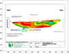
| EM and ER, Enviro-Science, Inc., Gretna, Louisiana – The purpose was to
locate buried 55-gallon drums and delineate horizontal and vertical MOSCAR pits. |
| EM, CH2MHill, Patuxent River Naval Base, Maryland and Roosevelt Roads, Puerto
Rico. The purpose was to delineate a landfill. |
|